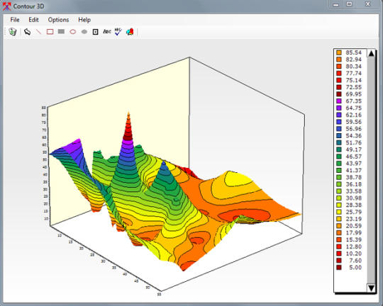
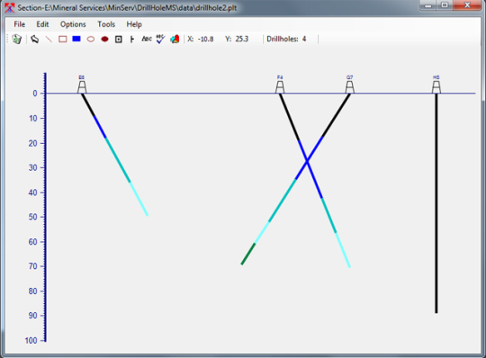
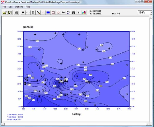
The Field Tools Package contains our best dot net geology field tools for Windows. Three tools have been combined into one application: 1. Contour3DMS, Contouring and Mapping in 2D and 3D. 2. CrossSectionMS, Cross Section plotting application. 3. LogPlotMS, for plotting and drawing Drill Logs and Other Logs.
What is new in this release:
Version 1.9.7 includes unspecified updates.
What is new in version 1.9.3:
Version 1.9 includes unspecified updates.
What is new in version 1.8.21:
Version 1.8.21 includes unspecified updates.
What is new in version 1.8.20:
Version 1.8.20 may include unspecified updates, enhancements, or bug fixes.
What is new in version 1.8.17:
Version 1.8.17 may include unspecified updates, enhancements, or bug fixes.
What is new in version 1.8.10:
Version 1.8.10 adds zoom percentage.
Requirements:
.NET Framework 4.0
Limitations:
30-day trial

Kommentarer ikke fundet